
Scottsdale Neighbor Block Sources
A block lookup combines public sources that describe different parts of the same place. The county map supplies parcel shape and adjacency. The tax roll names the legal owner and keeps the physical property address separate from the owner's mailing address. Scottsdale's city map adds public activity near the parcel. A lawful voter extract can identify some registered voters, while the city's neighborhood registry identifies groups and resident contacts rather than every household.
| Source | What It Shows About a Block | Access |
|---|---|---|
| County GIS and assessor | Touching parcels, APNs, legal owners, situs and mailing fields | Free map and parcel details |
| My Neighborhood | Permits, construction, development requests, and code cases | Free city map and list |
| Voter file | Registrants in a lawful precinct or district extract | Request; protected voters removed |
| Neighborhood Notification | Registered group type, boundary, and public contact | City program or request |
| HOA corporate record | Entity standing, statutory agent, and official address | Arizona Corporation Commission index |
| Historic reverse directory | Listed occupants by house number in an available edition | Heritage Connection in person |
The table is not a household roster. Owner names may be trusts, companies, estates, or people who receive mail elsewhere. Some owners live on-site, some do not. A resident may never appear in a parcel result. Keep the date of every search because ownership and city cases change.
Trace Scottsdale Neighbors by Parcel
The reliable path moves outward from one known parcel. Sequential house numbers can skip lots, cross a street, include a corner parcel, or conceal a shared tract. Scottsdale's elongated development pattern also means a dense Old Town block and a northern desert-edge tract will not have the same shape. The map, not an assumed number range, decides which parcels actually touch.
- Enter the known street address or APN in the Maricopa County GIS viewer and zoom until parcel outlines can be selected.
- Click the target polygon. Record its APN, physical address, and link to the assessor detail.
- Click each touching polygon and then the lots across the street. Save each APN before opening owner details.
- Compare the owner mailing city and ZIP with the parcel's situs fields, but label the result only as an ownership clue.
- Add Scottsdale permits and cases by address, then verify any association through the city registry or corporate record.
This process can be written as a short evidence flow: address to parcel polygon to APN to owner roll to city activity to verified group contact. The Scottsdale Street Directory takes over when the task expands beyond an immediate block to a whole named street.
Note: Capture the quarter-section, MCR, subdivision, and lot when shown; those land keys remain useful if postal wording changes.
Layer Scottsdale Block Activity
Scottsdale's My Neighborhood map adds civic context that the parcel roll does not hold. Search an address, then inspect its list items or map pins for building permits, construction activity, development requests, and code enforcement. A selected case can disclose dates and project detail. It may also identify an applicant, owner, builder, or public contact, but those roles should not be recast as occupants.
The city planning systems also use address, APN, subdivision, owner or builder, lot, and unit fields. Together, these records can explain why a block is changing or why notices were mailed. They do not reveal private utility customers, delivery data, children, guests, or all people living nearby. When the city map fails, search the planning permit and document portals or file a narrow noncommercial public-record request.
Map tip. Search one parcel first, then click its neighbors. Guessing a string of house numbers can miss corner lots and irregular desert tracts.
Scottsdale Neighborhood Group Records
Scottsdale's Neighborhood Notification program recognizes several kinds of groups: homeowners associations, Neighborhood Watch groups, voluntary neighborhood organizations, business or property associations, and school, church, or community organizations. Registration collects an organization name, type, size, boundaries or features, and a resident primary contact. A property manager may supplement that resident contact, but not replace it. This creates a verified route to a group without turning its private member list into a public directory.
County parcel map
Use the Maricopa GIS and assessor pair for adjacent APNs, parcel ownership, and mailing-versus-situs fields.
My Neighborhood
Use the Scottsdale map for public permits, projects, construction, development, and code cases near one address.
Neighborhood Notification
Use the city registry to verify a registered group's type, boundary, and resident contact channel.
ACC entity search
Use the state corporate index to check whether an HOA entity is active and to find its official agent record.
Locally documented names in city case and outreach material include Coalition of Pinnacle Peak, Desert Property Owners Association, Friends of the Scenic Drive, Terravita, Troon North Association, Los Cuatros HOA, Villa West Condos, and Colonia Verde. Their appearance in an old file does not prove present status. Confirm the group through the current city program or ACC filing and ask the organization directly about any member-only directory.
The Scottsdale Neighborhood Notification registry explains the group categories and registration path.
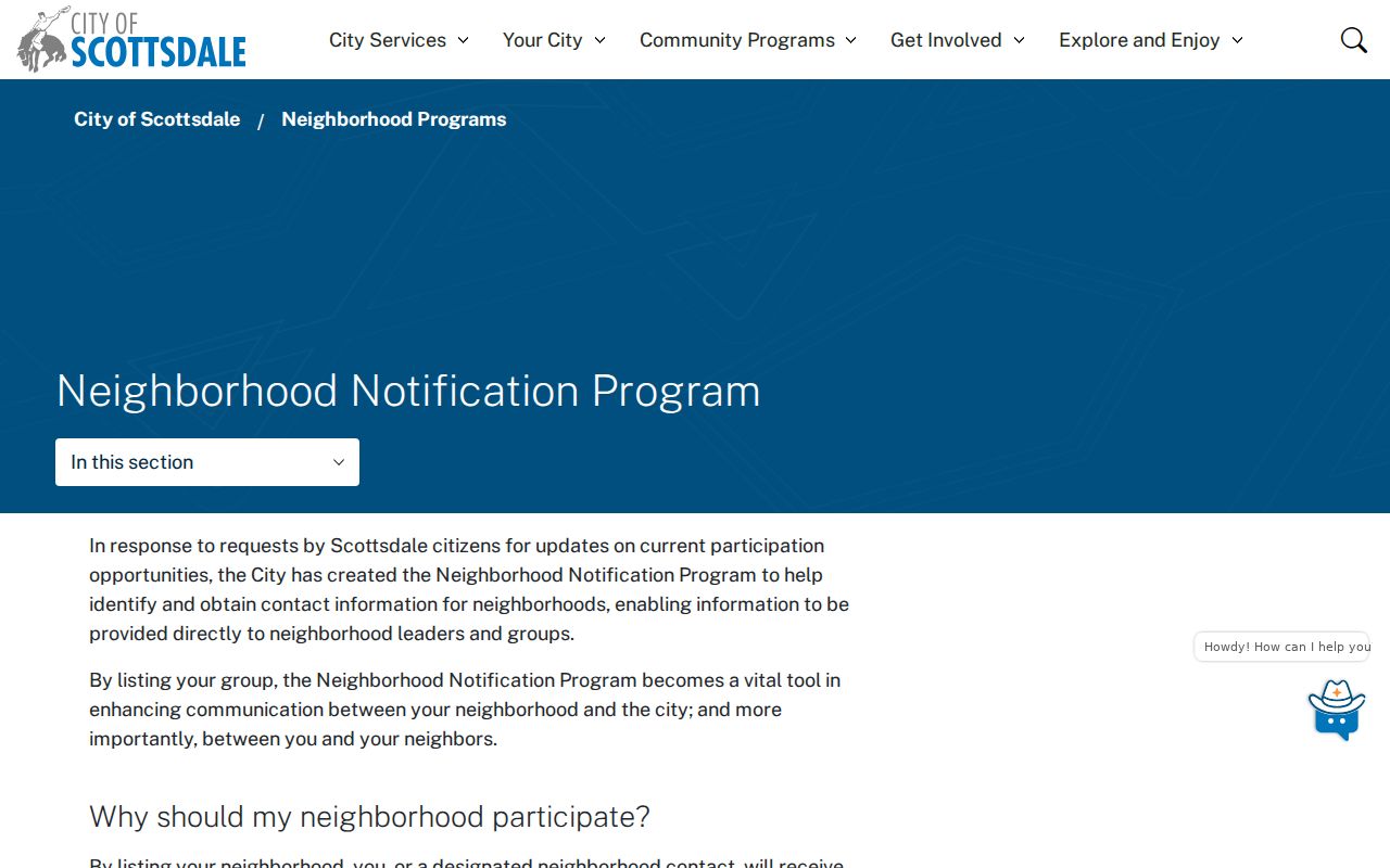
The registry connects a block to a recognized organization. It is not proof that every nearby resident belongs to that group.
Scottsdale HOA or Voluntary Group
A homeowners association and a voluntary neighborhood group are not interchangeable. The city describes community associations as formal bodies tied to owner membership, governing documents, fees, and boards. A neighborhood association can be voluntary and centered on shared place or civic work. Block-watch and community organizations have still different roles. Those distinctions determine which records exist and who may see them.
Many HOAs are corporations. Their public ACC filing can confirm entity name, standing, statutory agent, principal address, and filed documents. A newsletter or member directory remains subject to the group's own rules unless it has been published for general access. Request access. Do not scrape or republish a resident roster. For a business or property association, a registered contact is evidence of the organization, not evidence that the contact lives at every address in its boundary.
The city's community association resource was refreshed in 2026 with distinctions for HOAs, condominiums, and townhomes.
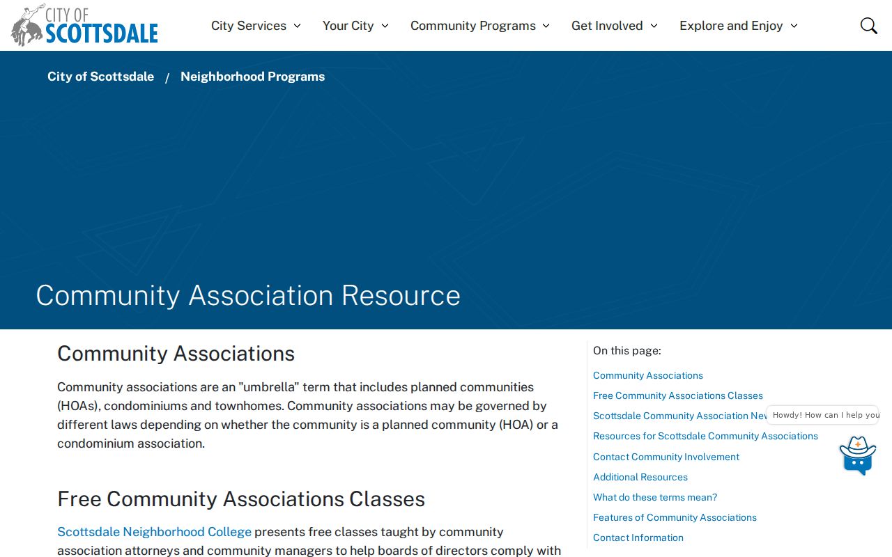
Use those definitions before deciding whether a city registry record, corporate filing, or direct association request is the right channel.
Scottsdale Neighbor Voter Limits
My.Arizona.Vote cannot browse a block. It is an identity-gated check for an individual and generally asks for name, birth date, and county or residence information. The fuller Maricopa County route is a voter-record request governed by A.R.S. §16-168. A VM51 file can be bounded by precinct or political district and by active, inactive, federal-only, or all statuses. It can include permitted name, registration, address, party, status, and participation fields.
That file still leaves gaps. A precinct is larger than a block. People who are not registered do not appear. Protected voters under A.R.S. §16-153 are omitted, and ballot choices are never public. Full birth dates, identification numbers, Social Security numbers, and signatures are not general-public fields. Street-level use therefore requires a lawful extract, then careful filtering by address. It cannot be reconstructed from the personal lookup tool.
Note: Participation history shows that an election was voted, never how a Scottsdale voter marked a ballot.
Scottsdale Neighbors Change by Geography
The meaning of a block shifts across Scottsdale. South Scottsdale and Old Town have older, denser parcels. McCormick Ranch and Gainey areas often require subdivision, MCR, and HOA context. The Airpark mixes business and residential addresses, making owner, entity, and occupant roles easy to blur. Farther north, low-density tracts near Pinnacle Peak and Troon may have large or irregular parcels that do not fit a neat street-number sweep.
Postal Scottsdale also extends beyond Scottsdale government. A mailing city or ZIP does not establish city jurisdiction, especially around the 85254 postal area and northern fringes. Confirm the parcel in GIS before relying on a city program. City limits, USPS delivery, school attendance, fire service, and utility service may draw different lines. This geography is why the immediate parcel method is stronger than a generic neighbor list.
Compare Scottsdale Neighbor Sources
Official block records are slower to combine, but each carries a named custodian, date, and defined field. Commercial neighbor tools compile many sources and may merge names, preserve stale addresses, or omit the difference between an owner and an occupant. They can be treated only as leads. A parcel owner, registered voter, corporate agent, permit applicant, and directory-listed occupant are five distinct roles.
| Measure | Official Scottsdale or County Record | Commercial Compilation |
|---|---|---|
| Authority | Named public custodian | Compiled from mixed sources |
| Field meaning | Defined role, date, and record type | Role may be unclear |
| Correction | Request at the office that created it | Use the provider's removal or correction process |
| Best use | Parcel, case, group, or filing verification | Unverified lead only |
For a wrong public record, correct the source first. Downstream copies may refresh later. Save the record number, date, and confirmation. If a private listing is the source, use its privacy process and disclose no more identifying data than required.
Protect Scottsdale Neighbors' Privacy
Parcel and city records do not expose a whole household. Renters, children, guests, utility customers, delivery details, and motor-vehicle addresses are outside the public block roll. Arizona's Address Confidentiality Program provides qualifying survivors with a substitute address, mail forwarding, and protected voter registration. Sealed court matters and current vital records also remain controlled. Do not infer a hidden resident from the absence of a public name.
Neighborhood development packets can contain radius maps, parcel-owner mailing labels, and group contacts. They may be stale and should not be republished as a neighbor list. Use them to identify a parcel or organization, then verify current facts at the official source. A respectful inquiry through a public association channel is safer than amplifying personal data.
Lawful use. Scottsdale neighbor records support civic awareness, reconnection, and understanding a block. Never use them to watch, stalk, harass, intimidate, or expose a protected person.